[
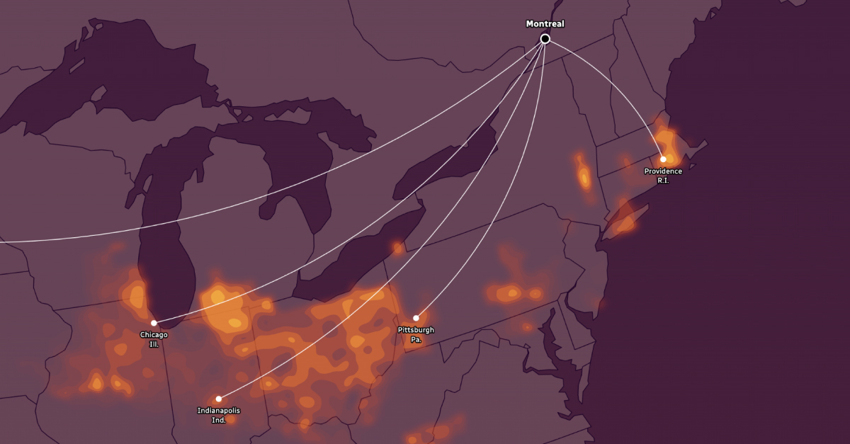
When Danny Blair presents this kind of climate match “a light bulb goes off in people’s heads. It turns projections into places, and places are what people understand,” said Blair, professor of geography at the University of Winnipeg and co-director of the Prairie Climate Centre. “These analogs also give us an opportunity to learn from others who are already coping with the stress of a climate we are projected to have in the decades ahead.”
For Christopher McCray, climate scientist at Ouranos, these kinds of analyses are also helpful adaptation tools. “People working for the city of Montreal or Toronto can look at the analogs and can potentially go and speak to the professionals working in those locations right now and ask them: what kind of infrastructure do you have in place to handle the climate that you currently have? Because one day, we might need to handle that climate,” he added.
However, Canada is vast, and its landscapes are diverse. The CBC News analysis can’t capture all the nuances of its future climate. The elevation, surrounding geography and proximity to large water bodies also shape what Canadians experience in their communities.
Extreme events such as hurricanes, storm surges and atmospheric rivers are also missing from this visual representation, noted Sabine Dietz, executive director of ClimAtlantic. “And all of these are of concern because in most of our coastal communities, we have so many low-lying areas, and people, of course, build along the coastline, including a lot of critical infrastructure.”
But still, scientists agree that some general trends can be drawn. In the Prairies, an agricultural powerhouse, winters are already getting warmer, which has some benefits, such as a longer growing season. “But there are some real downsides,” said Blair. “Having less snow cover in winter that’s available to melt to recharge the soil in the spring is a real issue. As the summers get warmer, evapotranspiration increases the amount of water loss from the surface. And precipitation is not expected to go up so much in the summertime. For any climatologist that screams drought.”
In southern Ontario and Quebec, heavy rainfall events will be more frequent and intense. “We’ve seen a lot of urban flooding over the past few years because our drainage infrastructure was built considering a climate of the past”, said McCray. “For example, the remnants of Hurricane Debby last summer ended up being the costliest natural disaster in Quebec’s history. We received 154 millimetres of rain in 24 hours, and the previous record was 94 [mm]. We beat the record by a huge amount, and we are going to see more and more of this type of event.”
To face these new climate challenges, Canadians have to adapt, says Blair. “We are not stopping climate change. We need to live smarter and prepare for the climate that is coming our way.”
“But we also need to keep in mind that collectively, we need to reduce our emissions,” said McCray. “We can see it on your analogs map: there is a big difference between the scenarios. So every ton of CO2 that we don’t put into the atmosphere is going to reduce the warming and the effects of that warming slightly.”
Methodology
The temperature and precipitation projections for summer are the 2071-2100 averages from the CMIP6 (climate scenarios from the Coupled Model Intercomparison Project Phase 6). CMIP is an international scientific collaboration under the United Nations World Climate Research Program.
The CMIP scenarios, called Shared Socioeconomic Pathways (SSPs), take into account population growth, socio-economic conditions, energy use, technology, land use, climate policy and many other factors.
The low-emissions scenario (SSP1-2.6) is based on a major shift toward sustainable development in government policies starting now and lasting throughout the century.
The medium-emissions scenario (SSP2-4.5) assumes we continue with current development patterns that include challenges to mitigation and adaptation plans for climate change.
In the high-emissions scenario (SSP5-8.5), greenhouse gas emissions would continue to increase through this century as global economic development remains reliant on the use of fossil fuels.
This analysis focuses on Canadian cities with a population of 50,000 or greater. However, some cities had to be excluded. Because of local climate specificities, our analysis was not able to find relevant spatial analogues for the following cities: Quebec City, Medicine Hat, Chilliwack, Kamloops, Vernon and Kelowna.
Comprehensive explanations regarding the datasets and the calculations can be found in our methodology.